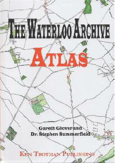
THE WATERLOO ARCHIVE ATLAS
Code: WA100
Price: £47.50
Category(s): New Books, Our Publications, Napoleonic,
CELEBRATING GARETH GLOVER'S 100TH PUBLICATION! 220pp., 4to, illustrated throughout with colour maps & contemporary sketches, portraits etc. 2021. Now, when I say I am proud of publishing a book, this volume takes the comment to a new level. To celebrate Gareth’s 100th publication, he and Stephen set to, to produce this simply overwhelming Waterloo Atlas of contemporary maps. At the core of the book are the 83 hand-drawn military field sketches of roads in the surrounding area by Wellington’s Staff Corps prior to the Waterloo Campaign, all expertly enhanced in colour by Stephen. To these have been added any maps of the area produced prior to 1825 such as the work by Joseph Ferraris and also (redrawn) the famous Willem Craan map of 1816. Many other maps are included to fill out the wider campaign plus the rare plans of the major sieges by Colonel Sir James Carmichael Smyth. Still that is not all, the volume also includes the earliest views of the battlefield, those of William Stoney, Denis Dighton and James Rouse amongst others. The result is the most sumptuous carto-graphic study of the battle ever produced. "The Waterloo Archives: Atlas is a treasure trove of visual information on the 1815 Campaign. For the first time, the reader will be able see the terrain as it was two hundred years ago. It is truly a case of a picture being worth a thousand words! It is a must buy for those interested in the Waterloo Campaign." Robert Burnham for The Napoleon Series